The Mirror Lake Scenic Byway climbs 42 miles from Kamas into the High Uintas, topping out at 10,715 feet with alpine lakes stacked up the whole way. It’s one of the best mountain drives in Utah, and it rewards a little planning. This mile-by-mile guide covers the distances, elevations, fees, and seasonal gates an RVer needs before pointing the rig up State Route 150.
The basics
- Length: about 42 miles of alpine driving from Kamas, UT, toward the Wyoming line
- Elevation: starts near 6,500 feet in Kamas, crests at 10,715 feet at Bald Mountain Pass
- Season: opens once the snow clears, usually late May or June, and closes at the Soapstone gate in late fall
- Fee: a recreation pass runs about $10 for 3 days, $20 for a week, or $60 annual. Driving straight through is free; you pay only if you stop at a recreation area
- Road number: State Route 150, signed as the Mirror Lake Scenic Byway
Before you go: RVing State Route 150
Kamas is the last real stop for gas, groceries, and a dump station, so top off the tank and fill the fresh water before you leave town. Past the gate the road climbs steadily, with a few grades that will have a heavy rig in low gear, and there are no services for the next 40 miles. Cell coverage drops out within a few miles of Kamas and stays spotty to the summit.
Weather turns fast up high. Afternoon thunderstorms are common in July and August, and it can snow at the pass in any month, so pack layers even for a day trip. Many of the Forest Service campgrounds along the byway have short pull-ins built for tents and small trailers, which is why a lot of RVers base a big rig down in Kamas and drive the byway in a truck or car.
Mile by mile up the byway
Mileposts below are measured from Kamas and rounded to the nearest mile. Use them to plan stops, not to navigate to the foot.
| Approx. milepost | Stop | Elevation | What’s there |
|---|---|---|---|
| 0 | Kamas | 6,500 ft | Last gas, groceries, dump station; Roam Uinta basecamp |
| 6 | Yellow Pine / Beaver Creek | 7,400 ft | Trailhead, picnic sites, creek fishing |
| 15 | Soapstone Basin | 8,200 ft | Winter closure gate, campground, meadows |
| 24 | Provo River Falls | 9,000 ft | Tiered waterfall right off the road, easy overlook |
| 25 | Trial Lake & Crystal Lake trailhead | 9,900 ft | Lake access, popular trailhead for the alpine lakes loop |
| 29 | Bald Mountain Pass | 10,715 ft | Highest point, Bald Mountain trailhead, Notch Mountain views |
| 32 | Mirror Lake | 10,000 ft | Campground, boat ramp, the reflection view the byway is named for |
| 35 | Butterfly & Pass lakes | 10,100 ft | Quieter fishing lakes, Highline Trail access to the Uinta backcountry |
The stretch between Provo River Falls and Mirror Lake is the scenic core. Provo River Falls, around milepost 24, is a set of cascades you can reach in a 2-minute walk from the pullout. Bald Mountain Pass at milepost 29 is the high point and the trailhead for the Bald Mountain hike, a short but steep 4-mile round trip with a summit view over dozens of lakes. Mirror Lake itself sits near milepost 32 under the granite face of Bald Mountain, with a campground, a boat ramp, and the still-water reflection that gives the byway its name.
Fishing the alpine lakes
The corridor holds dozens of stocked lakes within a short walk of the road, which is a big part of why people drive it. Trial, Washington, and Mirror lakes get regular plants of rainbow and brook trout, and a handful of the higher lakes hold tiger trout and arctic grayling. A Utah fishing license covers you, and the recreation pass covers parking at the trailheads. Early morning and the hour before dark are the reliable windows up here.
Where to camp
The byway has a string of Forest Service campgrounds, including Trial Lake, Mirror Lake, Moosehorn, and Butterfly Lake. Most are first-come or reservable through Recreation.gov, and most were built for tents and smaller trailers, with tight turns and short spurs. They have no hookups, and the season is short.
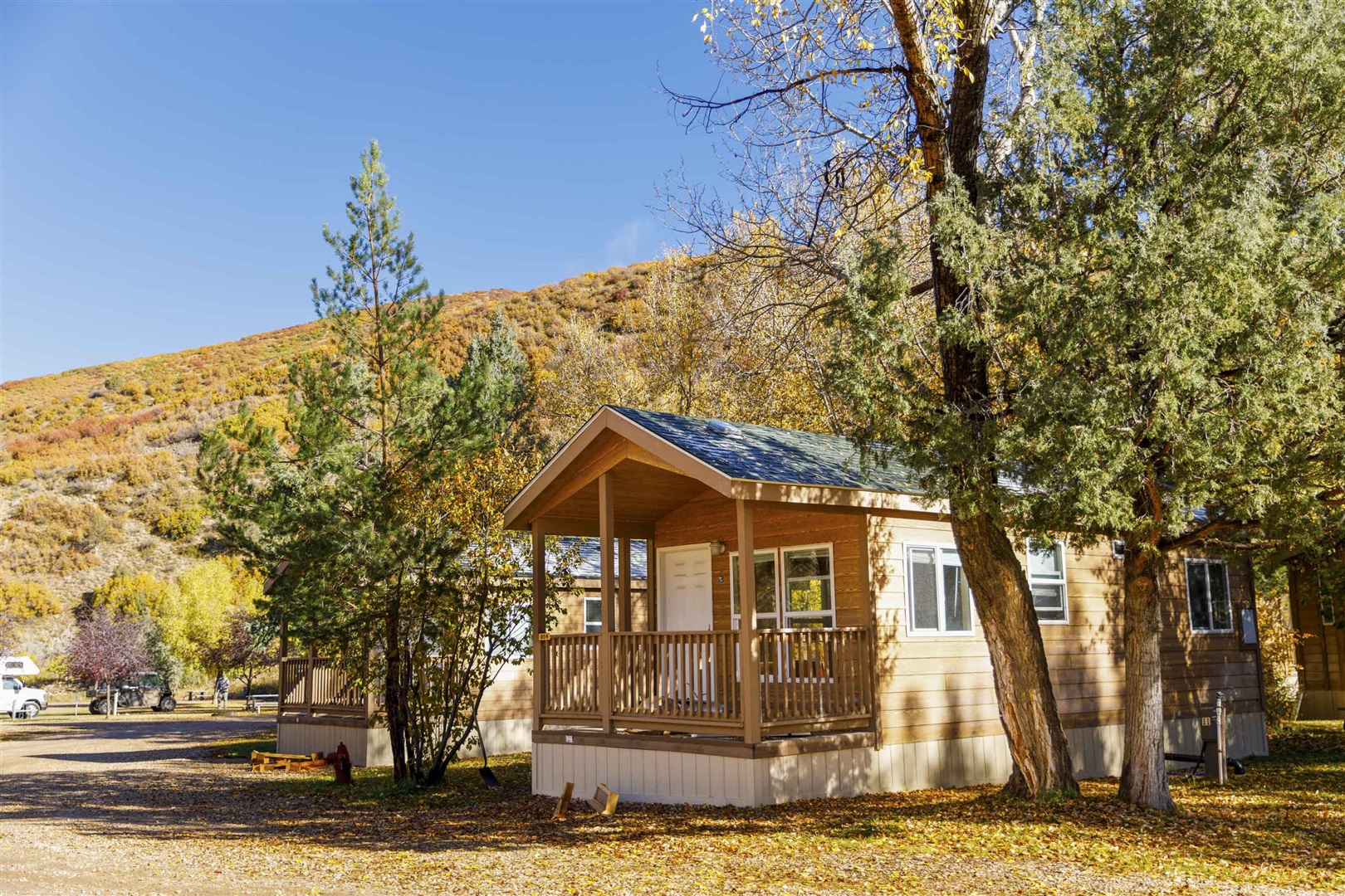
Basecamp: Roam Uinta RV Resort, Kamas, UT. It sits on the Provo River right where State Route 150 begins, so you get full hookups, a dump station, and a level big-rig site at the foot of the byway, then drive the alpine miles in your tow vehicle. Call (435) 214-1452 or check availability at Roam Uinta.
Frequently asked questions
When is the Mirror Lake Scenic Byway open?
The byway is seasonal. UDOT opens the gates once the snowpack clears, usually late May or June, and closes them at the Soapstone gate in late fall. Peak conditions run July through September. Always check UDOT road status before a shoulder-season drive.
Do you need a pass to drive Mirror Lake Highway?
Driving straight through is free. A recreation pass is required the moment you stop at a trailhead, picnic area, or lake. Passes run about $10 for 3 days up to $60 for an annual, sold at self-serve stations along the road and at shops in Kamas.
Can you drive the byway in a large RV?
You can drive State Route 150 in an RV, and plenty of people do. The catch is camping: most Forest Service campgrounds along the route have short spurs and tight turns better suited to tents and small trailers. Basing a big rig in Kamas and driving up in a tow vehicle is the easier play.
Point the rig toward Kamas
The Mirror Lake Scenic Byway packs waterfalls, a 10,715-foot pass, and dozens of trout lakes into 42 miles, and it stays open only a few months a year. Base in Kamas, buy the recreation pass, watch the afternoon weather, and give yourself a full day. Check availability at Roam Uinta and drive the byway from its front door.